A Connectivity Map of KLCC: MRT, LRT and Five Highways
The value of a central address is measured in the journeys it removes. Divine KLCC is framed between two rail stations and threaded by five expressways.
Two stations, on foot
Divine KLCC sits within walking distance of MRT Persiaran KLCC and LRT KLCC — connecting the address to the entire Klang Valley, from Tun Razak Exchange to Bukit Bintang, without merging into traffic.
Five expressways
For longer journeys, AKLEH, the DUKE Highway, the MEX Expressway, the Setiawangsa–Pantai Expressway and the SMART Highway place the airport, the highlands and the coast within a single, fluid drive.
The fifteen-minute city, already built
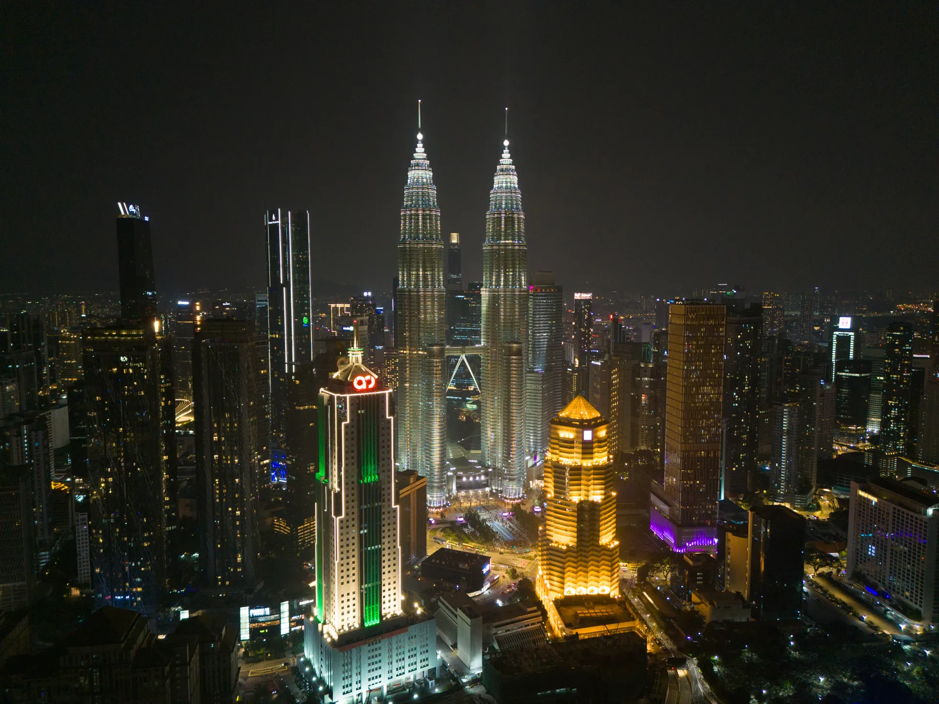
Within roughly a kilometre lie Suria KLCC, KLCC Park, Avenue K and the Saloma Link. The 15-minute city is not an aspiration here — it already exists.
This insight is published by Divine KLCC as an independent project resource. Estimated distances are approximate. Please refer to the developer's documentation and the Sale and Purchase Agreement for binding details.